Whoever came up with the name Legoland for this incredible spot encapsulated it perfectly. It’s an apt name for a fun and whimsical landscape that ended up being one of our favourite Canberra adventures. You’ll find giant boulders, fantastic views and even a huge cavern with some balancing boulders that really need to be seen to be believed.
General exploring here is easy, but as with any boulder area like this you can make it more challenging if you like and it’s a popular place for rock climbers.
Here’s how to find Legoland, including coordinates for the entry to the best cavern.
What is Legoland?
Since this isn’t an official walk, we thought we would explain a bit more about exactly what Legoland is. The area first became popular with rock climbers and you’ll see plenty of bolts snaking their way up the giant granite boulders.
Fun photos of the crazy rock formations made it a little more mainstream and though no trail was ever built to the area (in fact the park service would prefer people not to visit in case they get lost) it became a destination that walkers tried to find too.
If done sensibly, a visit here is both easy and safe. The scenery is fantastic, with some of the best boulder formations we’ve ever seen.
In order to make sure you find the best spots and don’t get stuck wandering off trail, we’ve got step by step instructions, plus coordinates for the main cavern which should make your visit here a breeze.
The walk to the Legoland car park (if you don’t want to drive the unsealed hill)
When we visited Legoland the Orroral Ridge Road was closed and we had to walk up to the car park. Happily this is no longer the case. We’ll leave the details of the walk below incase anyone isn’t comfortable driving on a somewhat steep unsealed road and would prefer to walk, but for everybody else, you can now skip the road walk!
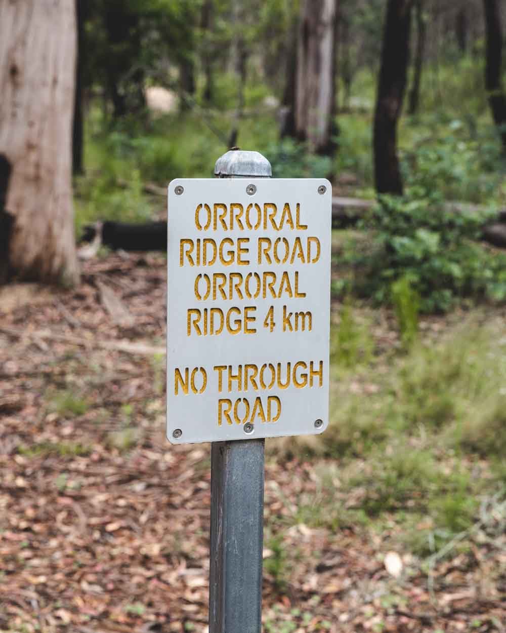
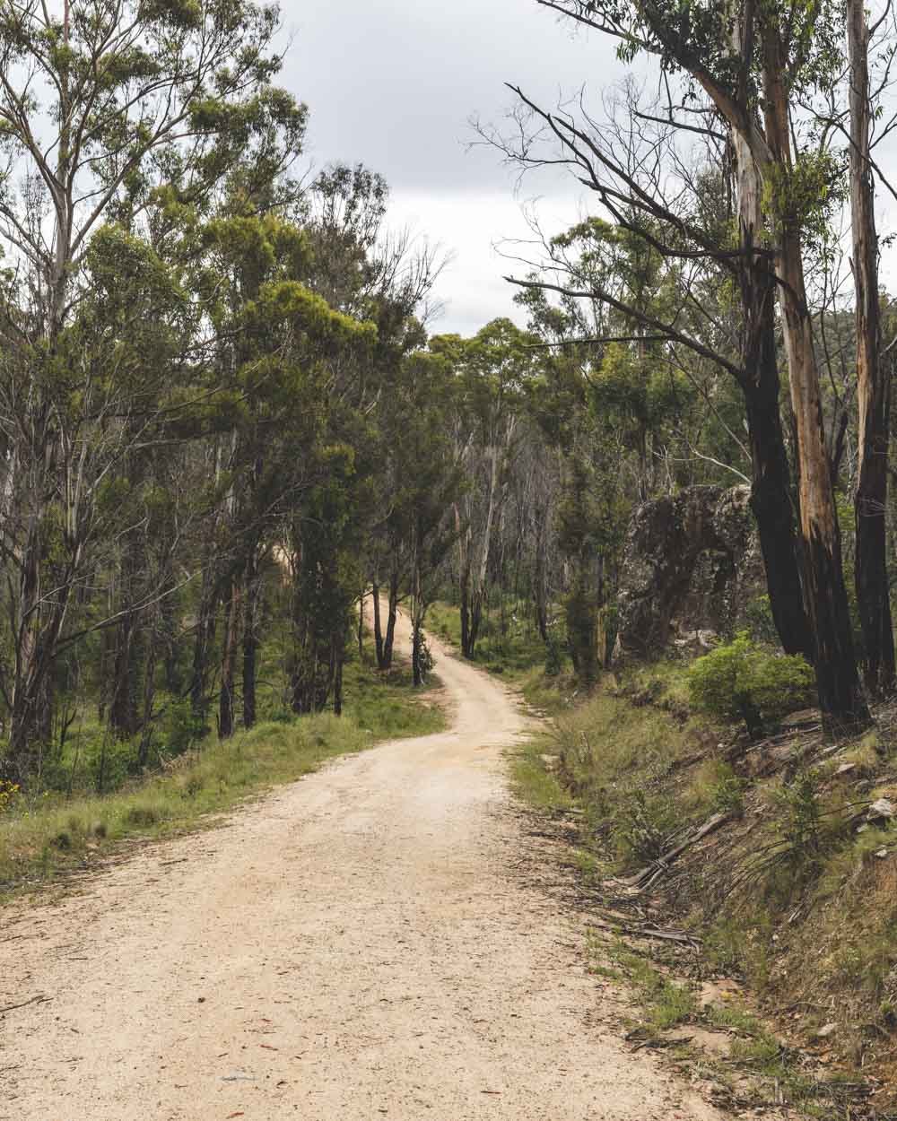
The walk to the Legoland car park begins at the Honeysuckle Campground in Namadgi National Park. From the left side of the car park (as you drive in) the walk heads through the locked gate and is signposted as Orroral Ridge Road.
Whilst I am never a fan of road walking, it is quite a pretty road, with lovely bushland on either side. It also had the most wallabies I’ve ever seen on a trail, which was a definite bonus.
It starts off flat and leisurely and I began thinking it wouldn’t be too bad to walk along the road after all. However after a kilometre or so, it does begin to climb and parts are actually pretty steep.
So steep that I wondered if 2WD cars would even make it without a gutsy driver! Luckily it’s not really steep all the way, but it does go uphill quite relentlessly, apart from at the beginning and end of the road.
The good news is that on the way back it’s virtually all downhill and very quick! The fact it’s a road also means the terrain is very easy.
There were a couple of small puddles when we walked - which was after serious flooding the week before - but otherwise the road seemed in great shape.
After 4.1km you’ll arrive at the car park for Legoland.
Exploring Legoland
The Rock Lookout
When you arrive at the car park you’ll see two trails, one to the left and one to the right. We started with the path on the left which is only 150m long (each way).
The trail is overgrown but flat and easy enough as long as you don’t mind pushing through a bit of dense bush.
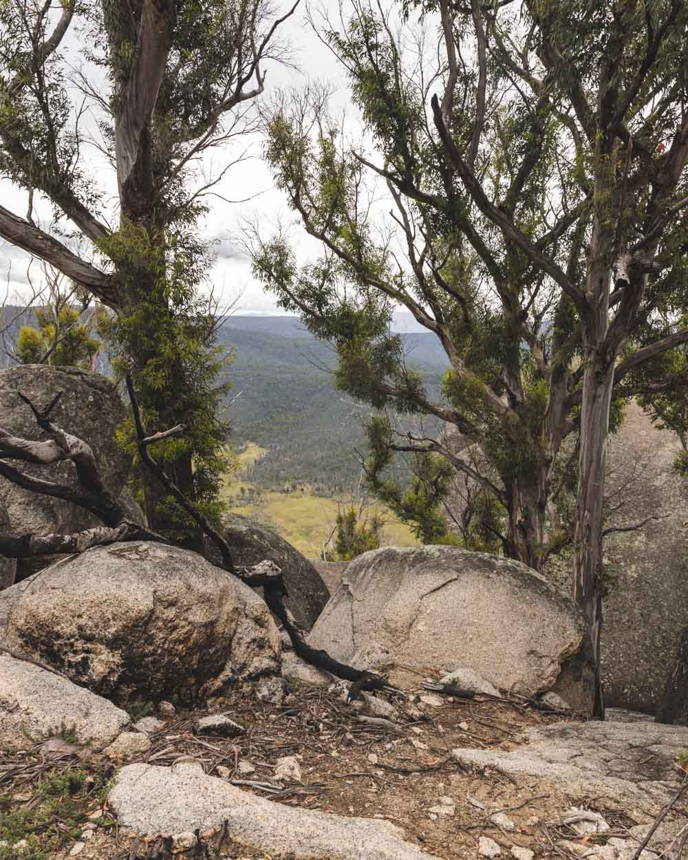
It takes you to a series of boulders, one is sloped in a way in which you can easily climb up it to get a view of the Orroral River and Valley below.
There’s also a little slot cave which is dark and mysterious but also quite webby, so grab a stick before entering.
This area is not actually Legoland, but worth a look before you head back to the car park and along the path on the right.
Finding Legoland
Edit for April 2024: there is now signage at Legoland! We’ll keep the track notes below because conditions should be similar, but expect to see some signposts now.
The path on the right of the car park is the one that will take you to Legoland. I believe it was marked as the Orroral Ridge Walk and the first 600m is along a well formed path.
It heads gradually downhill and feels like a well maintained bush track - although I am not sure it does see any maintenance anymore!
You’ll then reach a signpost which says end of maintained trail. From here it’s all off track with an initial fork in the path - the left trail heads uphill to some boulders, the right heads downhill parallel to the boulders.
Both paths are obvious and not overgrown at foot level, but bushes are encroaching the path at eye level and therefore it’s less easy to see.
It also means you can’t really see any obstacles along the path and though there were few, it’s worth parting the bush to look down and make sure you don’t crash into a rock or log.
Heading Left
We started by taking the left path that heads slightly uphill into the bush beside the sign post. It’s less than 20m before you’ll come to a boulder area with partial views out over Namadgi.
It’s got some interesting boulders but the fun really begins when you retrace your steps to the signpost and then make your way to the giant cavern.
The path right of the signpost
The path to the right of the sign is where the real fun begins, but it becomes a lot more overgrown and can be hard to spot. Luckily it’s only a very short distance.
It will feel like bush bashing, so we recommend taking the co-ordinates to the cave entry to ensure you are going in the right direction.
They are: -35.5999486, 148.9460137 and you can find it on Google Maps by clicking here. From the “unmaintained trail sign” the entry to the cavern is only 200m away (heading right from the sign).
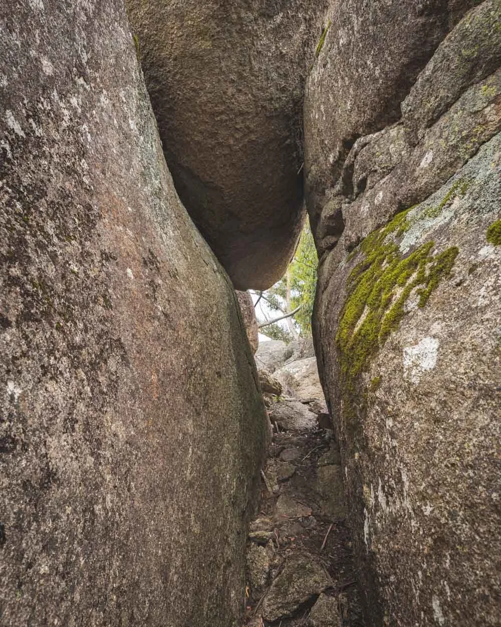
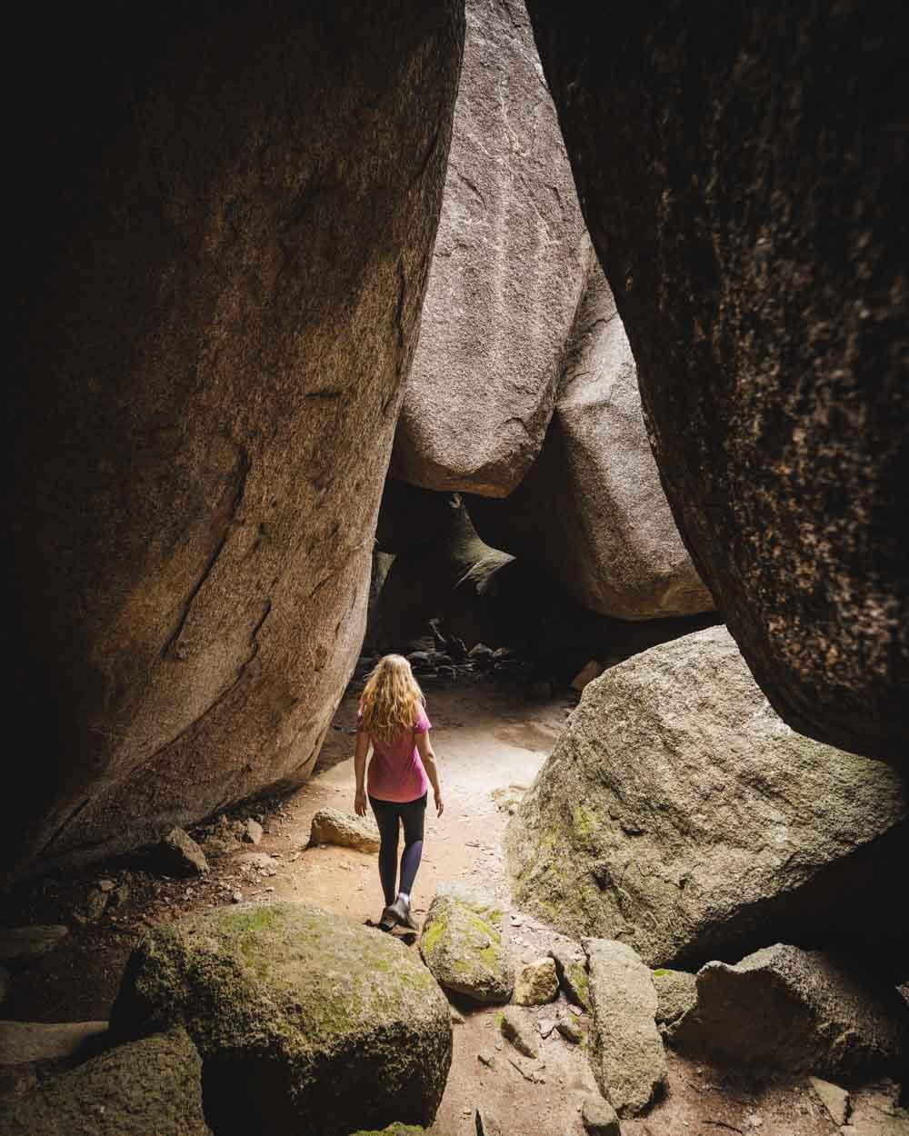
The path is overgrown as mentioned but it is a formed track the whole way. Eventually you’ll round a corner and see the rocks pictured below, which is the entry to the main cavern and the best part of Legoland.
Entering the giant cavern
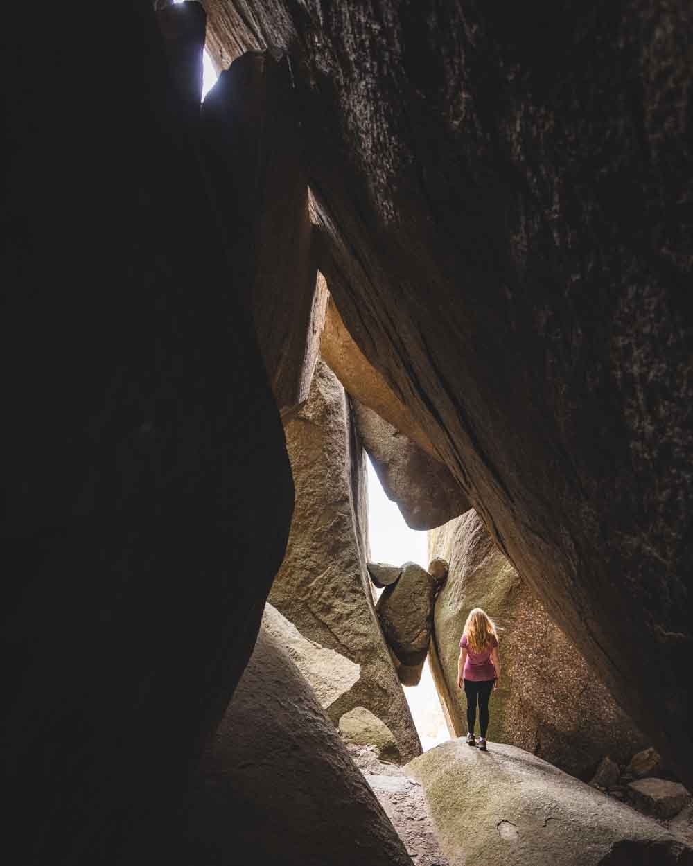
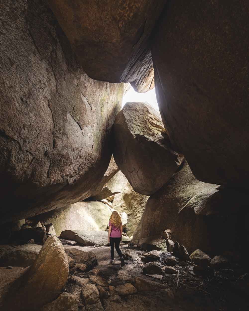
As soon as you see the entry to the cavern you’ll know you’re in the right place - it just looks on another level to anything you’ve seen up to now. When you walk inside, it’s like a huge boulder wonderland.
The ceiling is high with several giant boulders wedged in place, creating a really unusual landscape.
You can explore various little cracks and slits that make up the cave and you’ll find plenty of precarious looking stones balancing in tight gaps. The whole place has an otherworldly quality and it’s cool and dark which makes it a good spot to avoid the heat if you’re hiking in summer.
We didn’t attempt anything crazy and stuck to exploring the easy bits, but it was still a lot of fun and a really wonderful place for photography. We’ve visited quite a few boulder areas in the last year and this was our favourite so far.
You can continue the walk on to other boulders and viewpoints (we saw pink ribbons leading away from the cavern) but an incoming storm plus a long drive back to Sydney meant we’re saving that for another time.
Although the road closure does mean this is not the easy and quick adventure it used to be, it’s still a really fun place to explore for those willing to be in that bit of extra effort to get there.
Getting to the trail head
The closest car park to Legoland is located at the top of a steepish unsealed road, however, it’s well graded. If you are in any doubt about the road you can double check the current condition with the ACT parks service.
The car park at Legoland has no facilities whatsoever.
If you don’t want to drive up the steepish unsealed road to the closest car park to Legoland you will need to park at Honeysuckle Campground in Namadgi National Park. This is roughly a 50km and 50 minute drive from Canberra. The car park has pit toilets, picnic tables and even a fire place. You can camp here and there are plenty of lovely shady sites.
This post may contain affiliate links, meaning at no additional cost to you, that we will earn a small commission if you click through and decide to make a purchase. This helps towards the costs of running our website. Thanks for your support!

