The Gosford Glyphs (aka the Kariong hieroglyphs) are a strange sight to behold. Hundreds of hieroglyphs are carved into rock walls amidst a jumble of boulders, deep in the Central Coast bushland. Quite how they got there is disputed, from far fetched, if delightful, stories of Egyptian travellers leaving their mark some thousands of years ago, to modern Egypt enthusiasts paying homage to the Ancient Egyptians somewhere between the 1920’s and 70’s.
Whatever the story, they are a curiosity worth seeking out and it makes for a fun short adventure, which can easily be combined with a longer walk to the sensational viewpoint at Spion Kop.
Here’s how to find the Gosford Glyphs.

The shortest walk to the Gosford Glyphs
The stats
Distance: 2.9km return, or 3.9km loop via Lyre Trig
Elevation gain: 60m, or 120m if also visiting the trig
Difficulty: Easy, but not flat or signposted
Trailhead: Layby at Bambara Road, Kariong
Summary: The majority of the walk to the Gosford Glyphs is on a wide fire trail. There is a short section on an eroded path, but it’s still easy to navigate, though it could get muddy after rain.
The final stretch to the hieroglyphs is off track, but still easy when you know where to go! There’s a very minor amount of rocky terrain to negotiate.
If you want to continue to the Lyre Trig, there is a bit of an uphill climb and the path is narrow in places, with a few rocks to climb up.
Starting the trail: along the fire trail
The first 950m of the walk to the hieroglyphs is on a wide tree lined fire trail. It’s mainly flat, or ever so gently downhill and dense trees on either side of the path mean it’s still pretty, despite being a fire trail.

At the 950m mark you need to turn left and though the Gosford Glyphs are not signposted, there is a national park sign here, so you won’t miss the turning.


The next 200m are still flat, but the path is very rutted and you’ll crisscross the track to keep to the nicer bits. This is the stretch I could imagine getting muddy after a lot of rain.

Following this the path is lovely and smooth again for the next 100m. At this point you’ll see a tree stump with some markings on it. You could turn here, but we used the next path on the left, just a few metres away.
Less than 50m from this turning you’ll see a prominent orange tree.


Finding the hieroglyphs
You don’t want to turn left here even though it looks like a worn path. Instead keep to the path you’re on, which will veer slightly right and less than 50m later you’ll see a sign stuck to a tree (sadly it’s about vandalism).
If you look ahead, slightly uphill there are a lot of rock formations and boulders and you’ll see a beware of rockfall sign.

Walk up to this sign and then head right, along the worn path at the base of the rocks. Follow it round for a few metres until you see the large cliff like rock formations slightly uphill ahead of you.

Now head uphill and left and you will immediately see a little tunnel in the rocks (pictured below). Pass through this tunnel and you’re just a few metres from the entrance to the glyphs. You’re aiming for these coordinates: -33.451335, 151.302637

Incidentally there are three ways of getting to this spot, I’m just sharing the route we took, but you’ll see the two other access points when you arrive.
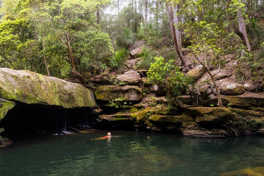
To get into the area inbetween the rock walls you need to climb down one rock, which is very easy. You’ll then be standing inbetween the cliff walls, with carvings on either side of you.

The Gosford Glyphs
Unfortunately there have been some changes to the site following remedial work undertaken in late 2023. The hieroglyphs used to sit in what was a known as a natural crypt, but some of the boulders have now been removed, leaving the glyphs exposed on the two rocks walls.
The hieroglyphs themselves are still very much in tact, but it has lost a bit of its mystique.

In terms of what to expect from the site, there are carvings on both rock walls, the best by far are on the left side. There are hundreds of hieroglyphs which are very well preserved.
They are a mix of gods and other Egyptians symbols, to more random things like bones and ants! It’s a fun spot, especially if you’ve been to Egypt and recognise some of the symbolism.
Despite the recent changes it’s still atmospheric, with the amazing rocks and boulders that surround the site.


The hieroglyphs are most likely made in the 1970’s and were known to the National Park Service at this time. It’s not publicly known who made them, which adds to the mystery.
They are a beloved curiosity of the Central Coast, but they aren’t without their controversy. The land they are carved on is a sacred place for the Darkinjung, Awaba and Gurringai people.


There are many Indigenous engravings sites in the area, which you may find if you have a poke around. Please remember never to touch the engravings to protect them from wear.
Continuing to Lyre Trig
If you want to continue the walk you can head up to the nearby Lyre Trig, which is 600m away. From the point you entered the cleft - between the walls where the hieroglyphs are - you need to climb up the rock and you’ll see another large orange tree (alternatively you could walk up the rocky path at the far end of the rock cleft which will bring you out to the same place).


At the orange tree drop down one level and follow the worn path alongside the little overhang. At the 1.6km mark, not far along the narrow path, you’ll see some steps carved into the rock and turn right, using the steps to easily climb the rock.
You’ll follow the rock slabs straight on, which leads to an open rock platform 150m later.

Make a hard left before the end of the rock platform, you’ll see the path and then follow the worn track uphill (to the left). After 150m there’s a fork and you’ll head right, you’re now just 100m from the fire trail.

At the fire trail you’ll head left and you’ll come to the rock platform where you’ll find a trig a few minutes later (roughly 2.1km from the car park and 600m from the hieroglyphs).

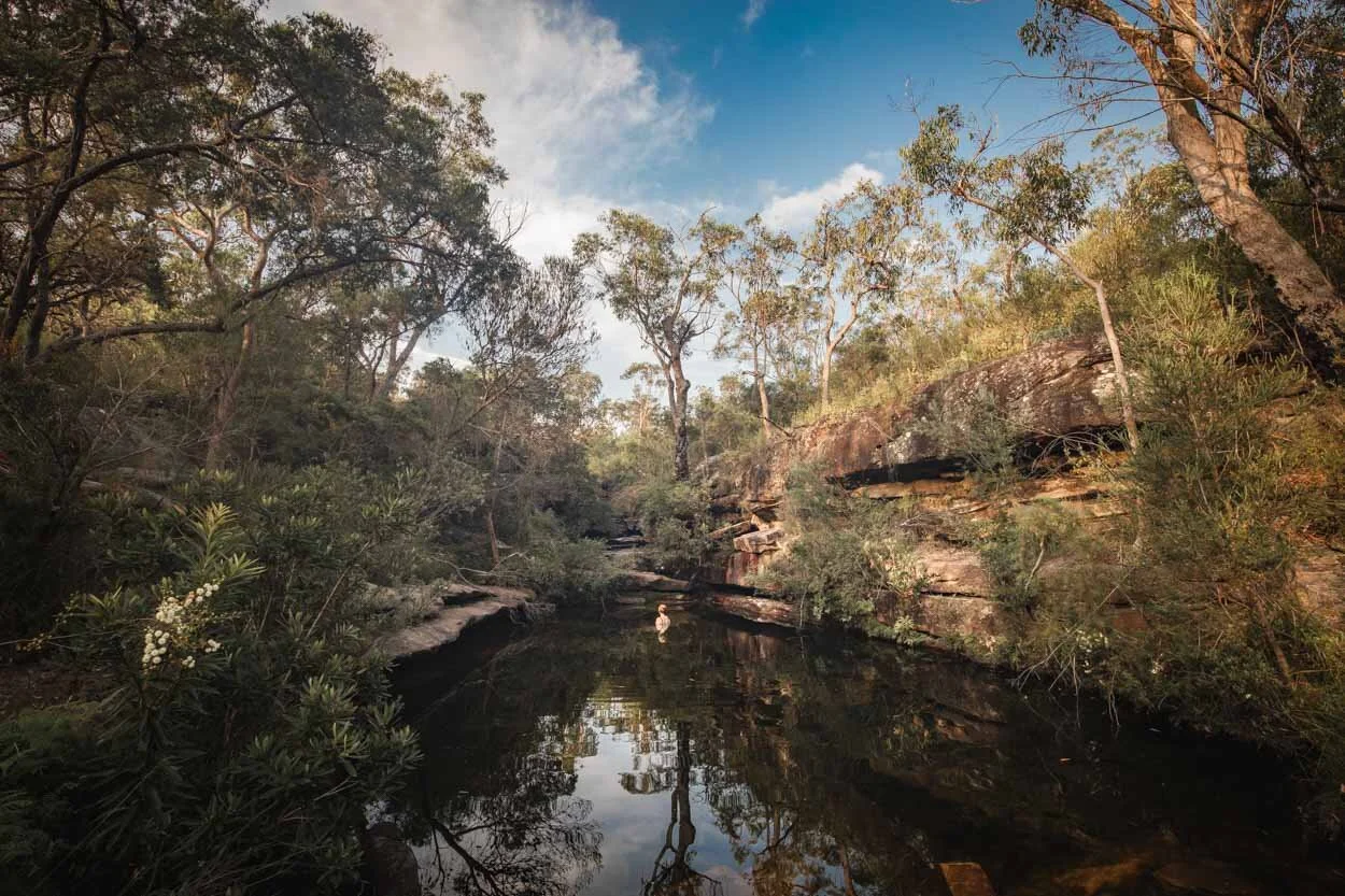
There’s a really great view over the bays and national park to the left of the trig. There’s plenty of space to sit on the rock platform and enjoy the view and it would make a great picnic spot.


When you’re ready to leave you can walk down the Lyre Fire Trail. The fire trail is 1.3km long and heads gently downhill, we spotted a large whale engraving along this stretch.

However, this route means walking for 450m along the highway, with no pavement or crash barrier, to get back to your car. This was a very unpleasant end to the walk and with hindsight, going back the same way we came would have been more enjoyable, if a touch longer.

Where to park for the Gosford Glyphs
The parking area for the Gosford Glyphs is at a large lay-by beside the Bambara Road Fire Trail, you can see it here on Google maps. It’s roughly a 12 minute drive from Woy Woy, 1 hour 15 minutes from Newcastle and 1 hour from Sydney.
This post may contain affiliate links, meaning at no additional cost to you, that we will earn a small commission if you click through and decide to make a purchase. This helps towards the costs of running our website. Thanks for your support.