The Wonderland Track: quite a name for a little known walk in Medlow Bath! To be honest, we weren’t sure what to expect as we knew very little about it before setting off. Although we couldn’t make it to the very end (more on that later), what we found was a walk of wonderful views and more than a little excitement. With narrow staircases between steep cliff walls and even a rickety old ladder, this rustic track was full of surprises.
It’s definitely put Medlow Bath on our radar, and we’ll be back to explore the other walks in the coming months.
For now, here’s everything you need to know about the Wonderland Track.
The Wonderland Track
The stats
Distance: 4.3km return (around 600-800m further if you make the true end of trail)
Elevation: 225m
Difficulty: Moderate
The Wonderland Track is for the most part quite well defined and the terrain is generally good. The major thing to be aware of is that all of the old safety barriers are now in a state of disrepair, this means the huge drops are no longer fenced in any way.
Luckily the paths were always in a good state beside the drops, but it definitely isn’t a walk for vertigo sufferers. There has also been a landslide roughly 300-400m before the end of the track which is very precarious. We’ll detail it in the track notes.
Even if you don’t traverse the landslide (as we didn’t) it is still a very worthwhile walk.
The Wonderland Track has no signposting but we have marked all the relevant turns in the track notes.
Starting the trail to Marks Tomb
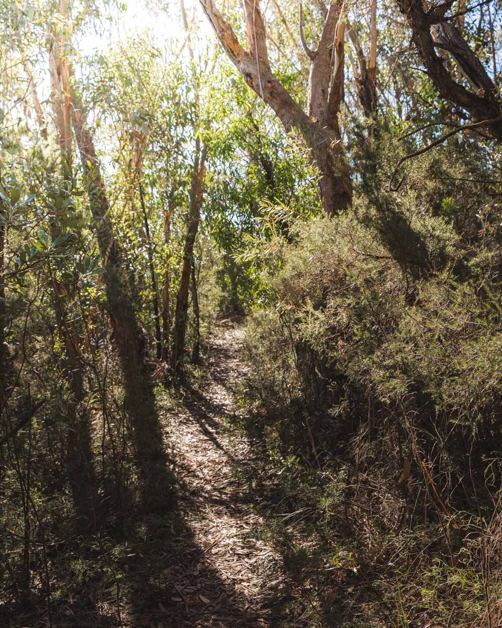
The walk begins at the end of a residential street and heads into the bush following the homemade sign that says ‘Track’. It’s a narrow path with dense bush on both sides and it will gradually take you downhill.
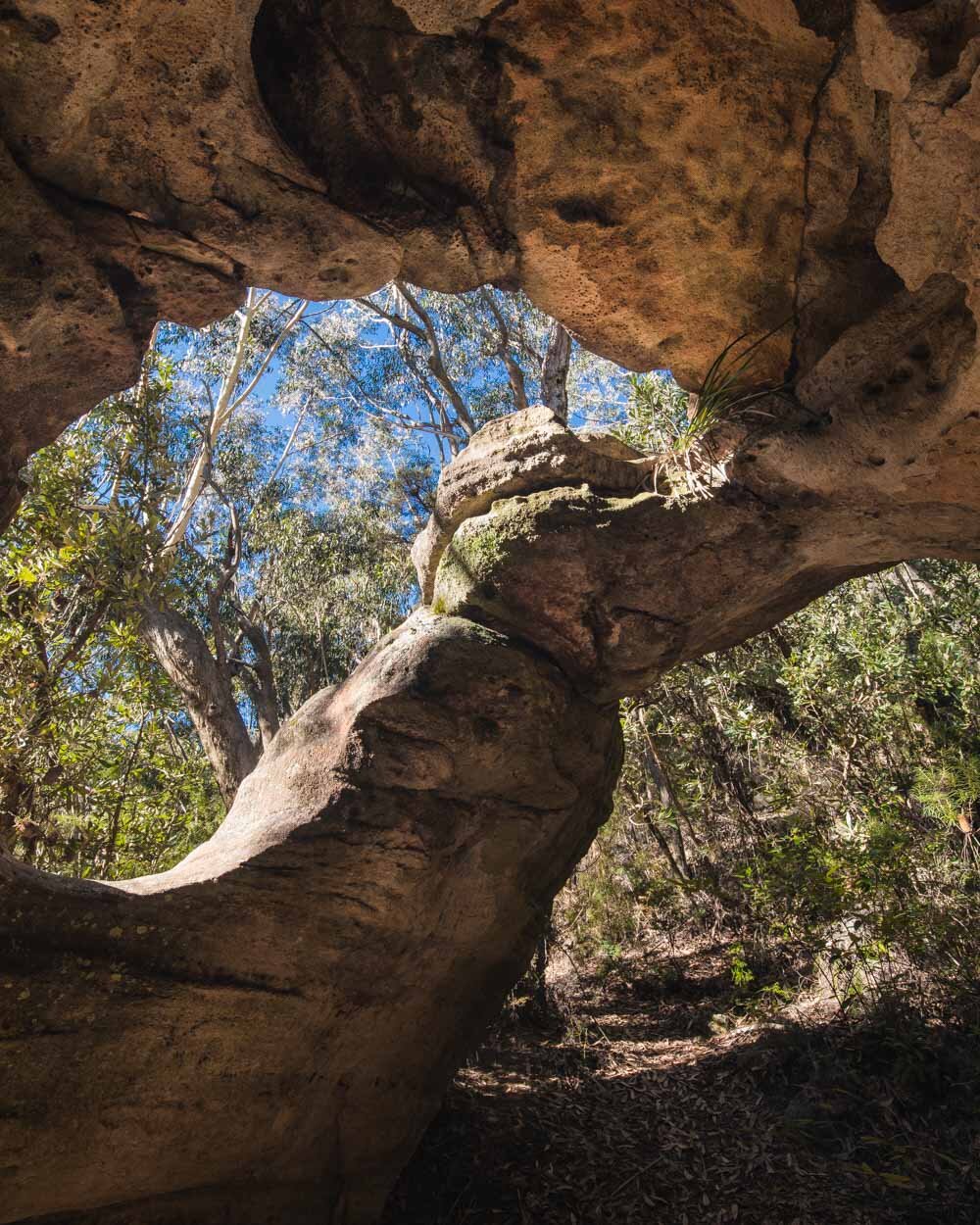
We decided to make a detour from the Wonderland Track to visit Marks Tomb, a cross between a cave and an archway. It’s not an actual tomb but it would have been if Mark Foy, a successful retailer in the late 1890’s, had had his wish granted.
He was so taken with the area, he wanted to be laid to rest here, but it wasn’t to be.
It’s a great little spot and well worth the detour from the main trail. To get there you need to take the path on the right 250m after starting the trail.
Roughly 460m later you will come to a path on the left which has another of those brilliant homemade signs directing you to the tomb.
You’ll arrive 140m later, after descending the narrow bush track. The cave is a really interesting shape and makes for some fun photo ops.
Onto Tuckers Lookout
When you’re ready to continue the trail, head back up the same path and turn right at the first junction. Approximately 430m later you will come to another junction where you need to carry on straight.
The path becomes a bit more rustic and rocky but it’s not difficult, you just have to watch your footing a little more.
Over the next 300m you will pass three more side trails, keep right each time (by the third right turn you will have been walking for a total of 1.7km). Just 50m beyond this turning you’ll see Tuckers Lookout.
You have to climb up onto the rocky outcrop but it’s only a few steps and easy. From there you get a truly magnificent view of the Megalong Valley.
I know I’ve said this a few times lately but I will never get over how such phenomenal views can still be so quiet and rarely known to those other than locals.
It’s a fabulous spot to sit, relax and admire the views. It was pretty windy on our visit but even that couldn’t move us on very quickly!
Onto the cliff tops!
After Tuckers Lookout you retrace your steps 50m back to the junction and then head down the hillside track in front of you. It was covered in a fair bit of leaf litter on our visit, so it might not look like such an obvious track, but even so I doubt you could miss it.
The path takes you between two large cliff walls which have an almost canyon-like feel to them.
It’s a popular rock climbing area so you might spot them, or more likely hear them, as there voices echo through the valley.
After a few minutes you’ll come to a side trail on the right which climbs up onto the cliff. It’s easy enough but the views are much more obscured than from Tuckers Lookout due to trees.
Keep right at the bottom of this section and head onto the narrow path with fabulous views to the left. After a few minutes you will reach the exposed section of the track, where there used to be railings which are long since worn away.
Time for the somewhat sketchy steps
The path is in pretty good condition and the steps leading down the cliffside felt nice and grippy, however, there’s no denying it’s a long way down and this part of the walk won’t appeal to everyone.
The valley views are just fantastic and the pathway feels quite exciting, but I was definitely keeping a careful eye on my feet on the descent.
This section that has exposure only lasts around 400m (and it’s not for the entire 400m. It was my favourite part of the walk, it just had that long forgotten feeling which you just don’t get on the well marked trails.
After a few minutes climbing down staircases, with a bit of flat track inbetween, you’ll come to a narrow gap between two tall cliffs.
When you first see it, you’ll think there couldn’t possibly be a way down but it’s an illusion.
There are some natural somewhat rugged steps down, followed by a steep staircase which is more like a ladder. One of the slats is missing but it’s still very easy to get down.
Just beyond this you will come to a proper ladder, of the old slightly rickety variety. It is tied firmly to the cliff side and does feel very safe, although it wobbles a little bit.
If you love this bit, and haven’t yet been over to Coxs Cave in Mount Victoria, make that your next walk!
After the ladder you’ll quickly reach another staircase built between two cliffs, but it’s wider this time. After this you will reach a much more ‘normal’ track again.
Onto the ‘end of the track’
The pathway suddenly comes out to follow the wonderfully steep cliffs and there are large sections of gorgeous ferns. Whilst the path is narrow there is no longer any exposure and you can fully soak up the atmospheric walk beside the towering cliffs.
This section lasts roughly 500m before you’ll come to a landslide (just before this there is a short patch of slippery clay like mud if it’s been raining - just tread carefully).
When we first saw the landslide opposite us we thought it wasn’t passable. As we got closer we saw some decent steps up and the first bit was easy.
However, after this it deteriorated further and although we thought we could do it, if we did slip it could be a fatal fall.
Whilst we know (from footprints) that people do negotiate this section we decided to turn back. It was quite wet and just not worth the risk. We estimate we were between 300 and 400m from the Colosseum - the end of the Wonderland Track.
Whilst I hate not finishing a trail, we decided that we would come back soon and approach it from the other side instead (as you can make this walk a circuit).
If you do traverse the landslide you’ll reach a large overhang and waterfall. When we get there from the other side, we’ll come back and update this post with more info on it.
Heading back
On the way back you don’t need to factor in Marks Tomb so it’s significantly shorter. From the landslide to Belgravia Street is just 1.3km. It will be slightly longer if you make it all the way to the Colosseum. Apart from a few short flat sections it’s basically uphill all the way.
If you love this walk and are looking for another off the beaten track option in the same area, try the Glen Rosa Track.
Getting to the Wonderland Track
The Wonderland Track starts at the end of Belgravia Street in Medlow Bath in the Blue Mountains. There is plenty of free off street parking.
Medlow Bath is just over a one hour and 30 minute drive from Sydney, and just 10 minutes from Katoomba.
This post may contain affiliate links, meaning at no additional cost to you, that we will earn a small commission if you click through and decide to make a purchase. This helps towards the costs of running our website. Thanks for your support.


