If you’re looking for a short but fun adventure in the Peak District, this is it. You don’t have to do a really long walk around the Roaches to explore the best of the wild and wonderful rock formations, which is lucky for us, because a short walk was all our weather window allowed!
In just two miles, you’ll experience incredible views, as well as have plenty of opportunities to go for a scramble if you want to add a touch more excitement to your walk. The short distance, coupled with fantastic views make this a great choice if you’re looking for somewhere to watch the sunrise or sunset too.
Here’s everything you need to know about our short version of the Roaches circular walk.
The Roaches circular walk
The stats
Distance: 2 miles (3.2km) circuit
Elevation gain: 220m
Difficulty: Easy - moderate
This version of the Roaches circular walk does have a few uphill sections, but they don’t last long. The terrain is generally pretty good, although there are a few short descents which can be a little steep and are not on a formed path. The boulders and gritstone rocks you’ll use to descend the steeper of the two main hills are lovely and grippy when dry.
Although there are plenty of rock formations for scrambling, you don’t need to do any scrambling if you don’t want to.
The walk is very exposed to the elements and it can be extremely windy in this area, so ideally you’d want a day with low wind for the most comfortable experience.
Starting the trail
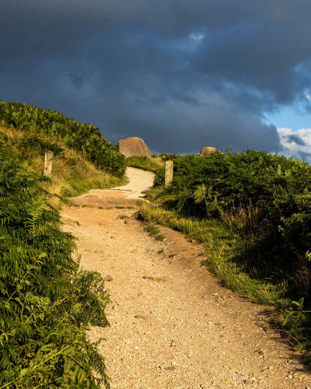
From the parking area (details below) the walk heads through the gate and up the gravel path. There are good views from the off, and it only gets better the further you go.
After 100m you’ll see a path on the left and you’ll follow this past Don Whillans Memorial Hut (which is private, so you can’t actually access it).
After passing through a second gate, you’ll soon enter a boulder strewn forest. It’s really popular with climbers and boulderers, and it’s fun to sit and watch as they tackle harder and harder pitches.
The walking trail through the forest is not so obvious because of the numerous social paths used to access the various boulders.
Although there are probably multiple routes that would take you to the same place, we kept to the left of the wood, on the distinct path, and turned right at the T junction, which was 600m from the car park.
The path heads uphill and hits rocky stairs after 100m, at which point you are 50m from the top of the ridge. It’s a short easy climb on a decent track the whole way.
Along the Roaches ridge
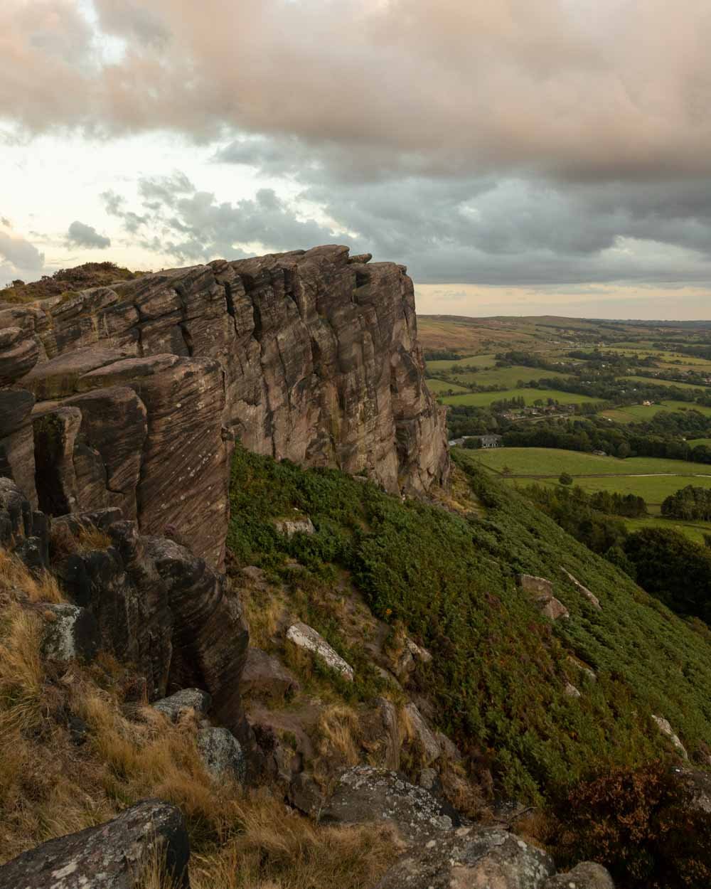
The views from the ridge are fantastic, overlooking distant peaks, rolling green farmland, Tittesworth Reservoir and pretty woodland. It’s the sort of view you normally have to walk much further than 750m to enjoy!
From the top you can either head right immediately, or briefly left to the rocky outcrop, which is tantalising close.
You can be standing on top of it within just 150m (each way). The view doesn’t actually differ too much, so it’s not a necessity, but we couldn’t resist checking it out.
We then retraced our steps and began heading straight on (it would be right from the stairs if you’re not taking the detour).
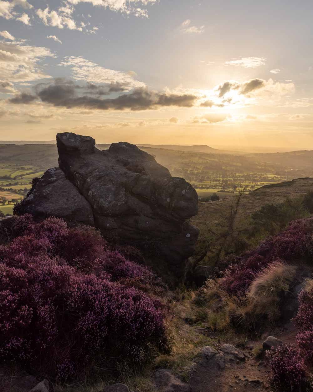
The views along this whole stretch of track are gorgeous and we were especially lucky to be walking in summer when the heather was in full bloom. It definitely added a touch of magic to the already beautiful track.
As you head along the ridge on a flat dirt trail there are plenty of rock formations on the right which can be climbed.
They’re obviously pretty exposed with large drops, which is another reason this walk is best done in low wind if possible.
There’s a particularly spectacular view from the outcrop 200m from the steps you came up from the forest on.
The rocky descent
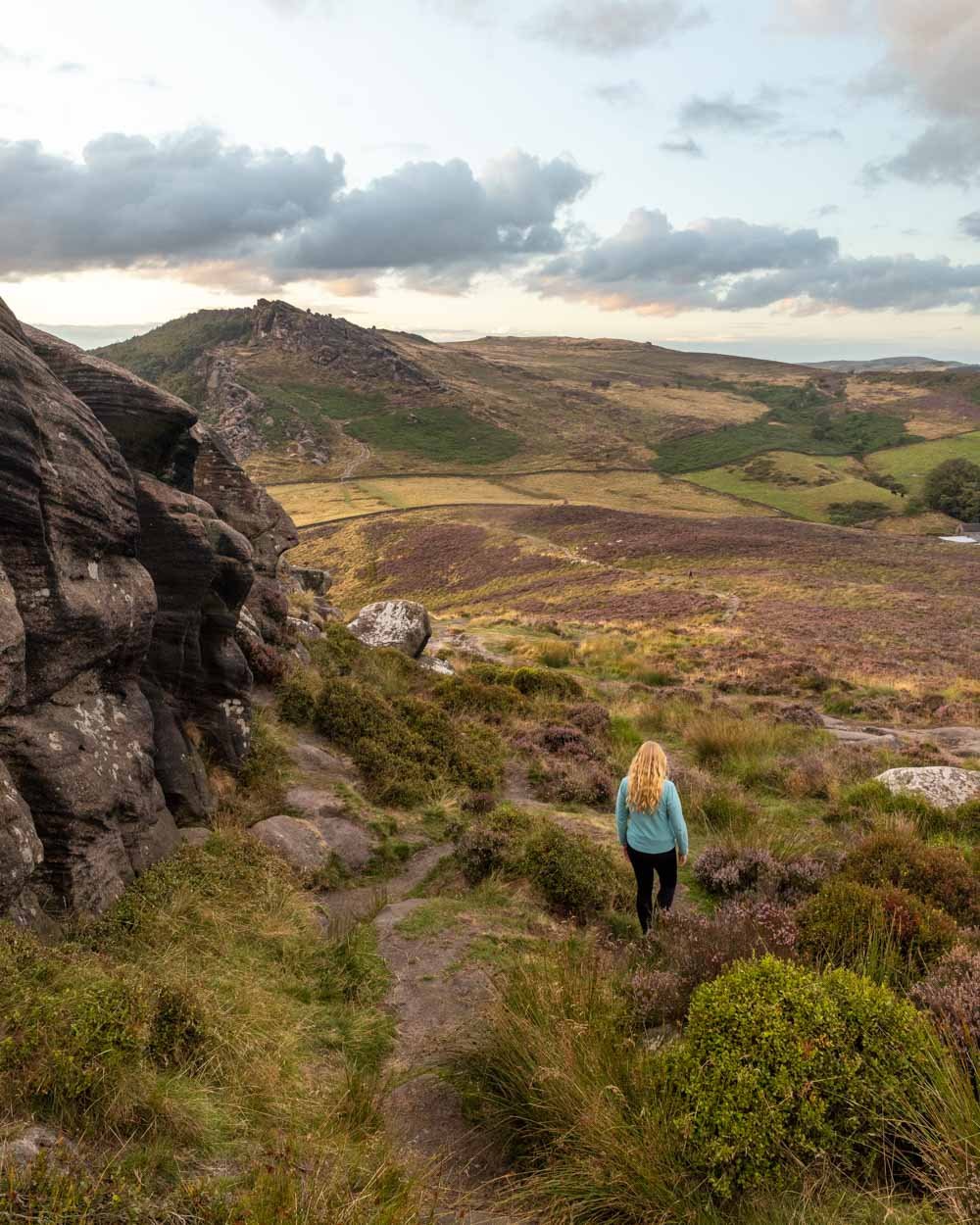
From the rock cluster with the great views, you head left to take the rocky track downhill. There are sections of dirt trail and also parts where you are walking down rock slabs and over boulders. It’s easy enough when dry, but it could be slippery if wet.
The views are incredible on the descent, both of the boulder strewn landscape you’re walking through and ahead to Hen Cloud, which looks incredibly dramatic.
You’ll soon come to a point where you can go left or right, you’ll know it when you see it because walking straight on is not possible. The right path looked like a good scramble, but I’d have preferred to go up rather than down it.
We chose to err on the side of caution and take the left path, which is straightforward. There is one tiny section of loose soil, but it’s barely more than a few steps and the rest is all on pretty good track.
It’s not overly steep either and you’ll soon hit a well formed dirt path alongside more great rock formations.
Just 500m after you began descending you’ll arrive at the gate that leads to Hen Cloud.
Climbing Hen Cloud
If you want to make the walk even shorter you can skip climbing Hen Cloud, which would save 0.8 miles (1.3km) return. However, it is really worth the little bit of extra effort for some more truly fabulous views. It’s also a great spot to watch the sunset - as with all the rocky outcrops along the ridge you’ve already walked.
I think Hen Cloud is one of those peaks that looks steeper from a distance than it really is. The first 200m are flat and then you just have a 450m climb on a decent path before you’re standing at the top.
You’ll pass a cool little slot in the boulders, which acts a powerful wind tunnel, before arriving at what looks like the top, 100m short of the true peak.
This is actually the best spot for sunset and has better views than the actual peak. There are plenty of giant boulders to sit on and enjoy the show.
To reach the true top you continue left, walking partly on a dirt track and partly over rocky terrain, before you come to the official peak. The view is good, but not as good as from the boulders, and it doesn’t face sunset.
You could make a circuit here by taking the trail leading down from the peak, but we chose to retrace our steps because we wanted to face the Roaches all the way down as the view was just so gorgeous. This was also the side of the hill that had all the heather, so it was extra special.
From the peak we retraced our steps to the gate and then headed straight on to a second gate, before taking a left back along the original path we came in on.
Parking for the Roaches
Despite the immense popularity of the Roaches with both walkers and climbers, there isn’t much in the way of parking. You need to find a space in one of the lay bys along Roach Road, postcode ST13 8UB. The nearest landmark on Google Maps is the Don Whillians Memorial Hut.
Parking is free and time is not limited. On weekends and in the school holidays it does get really busy. We visited in August and found it very easy to park in the late afternoon because we were hiking for sunset. If you go early or late you shouldn’t have a problem at any time of year.
The parking area is located 20 minutes (10 miles) from Buxton, 35 minutes (17 miles) from Bakewell, 35 minutes (18 miles) from Ashbourne and 45 minutes (25 miles) from Sheffield.
There are no facilities including toilets at the parking area, so please carry all rubbish out with you.
This post may contain affiliate links, meaning at no additional cost to you, that we will earn a small commission if you click through and decide to make a purchase. This helps towards the costs of running our website. Thanks for your support.


