

Rotorua’s biggest drawcard is its geothermal landscapes and there’s no doubt that the best geyser views come from inside the thermal parks. However, the most well know geyser - Pohutu geyser - can also be viewed for free from the Pohaturoa Track in the Whakarewarewa (Redwoods) Forest. Knowing this was a free viewpoint, we honestly weren’t expecting much, but it turned out to be a great view and well worth the short walk.
Although a pleasant trail, this isn’t one of the prettiest parts of the forest by any means, so it’s definitely all about that geyser view.
Here’s how to get to the viewpoint via the quickest route.

The quickest route to the Pohutu geyser lookout
The stats
Distance: 3.7km return to the geyser lookout, or 4.9km return to all four lookouts
Elevation gain: 77m for the geyser lookout, or 110m for all four lookouts
Difficulty: Easy, but not flat
Trailhead: Titokorangi Road Car Park
The trail
The route to the Pohutu geyser lookout is located along the Pohaturoa (yellow) Track. You can complete the full walk which adds on an additional 3.1km, but we chose to only do the portion which included the lookouts.
Only one viewpoint overlooks Te Puia and the geyser, though we did continue to a further three lookouts beyond, which we’ll detail in the notes below.
The nearest car park to the lookout is at the western end of Titokorangi Drive which can be found here on Google maps. From here the walk passes around the side of the gate and follows a road uphill.
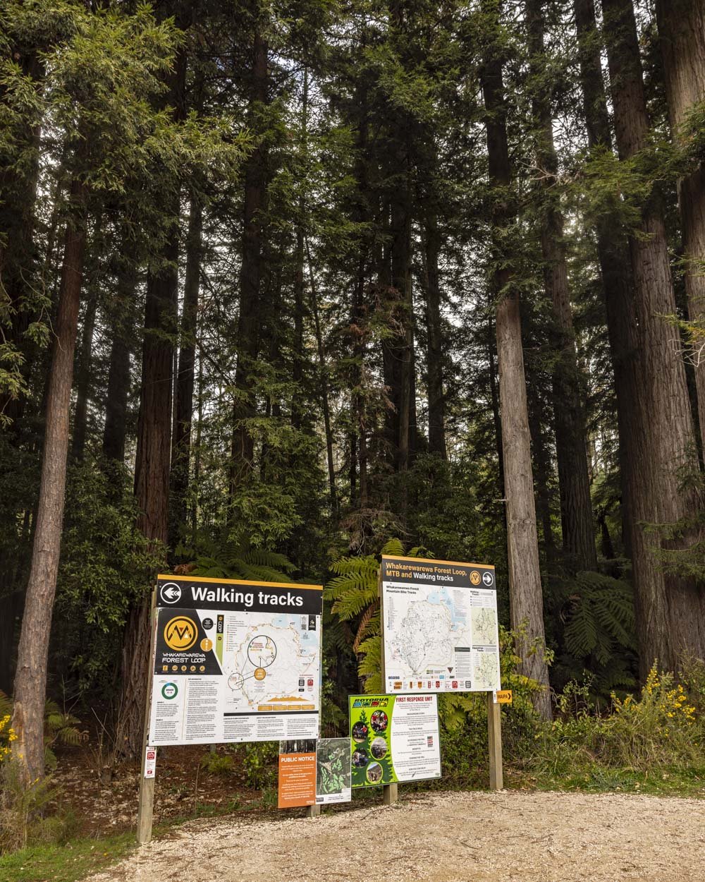

The road is permitted, so you are very unlikely to see any cars, but it is a shared used track so you may see a bike or two, especially on weekends.
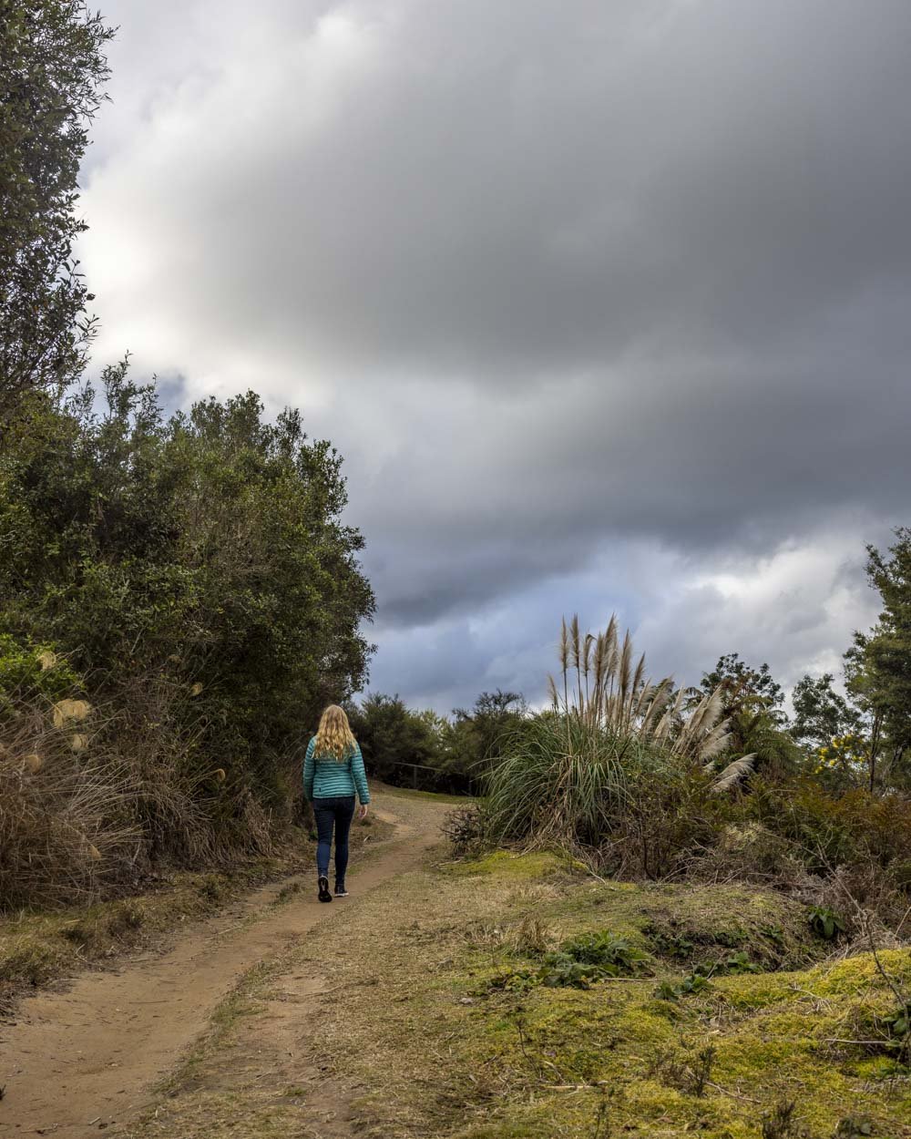
After 400m you’ll head right onto a narrower gravel track, following the yellow track signpost. The path is noticeably uphill for a further 150m before the gradient slackens and then flattens.
However, it’s not long before it begins undulating.

The scenery is pleasant, but it’s not stunning like the tracks inside the main part of the Redwood Forest. It’s also relatively open to the elements.
However, 1.2km into the walk you’ll turn right at the signposted junction and the path gets much prettier.

The forest is now dense on either side of the track and there are some lovely tree ferns. The dirt path is flat for the next 450m.
Roughly 1.6km into the walk you’ll reach another junction and follow it straight before turning right 50m later at the next junction.

The path will now head uphill again and 200m later (1.85km) into the walk you will arrive at Lower Whaka Lookout.

Lower Whaka (Pohutu geyser) Lookout
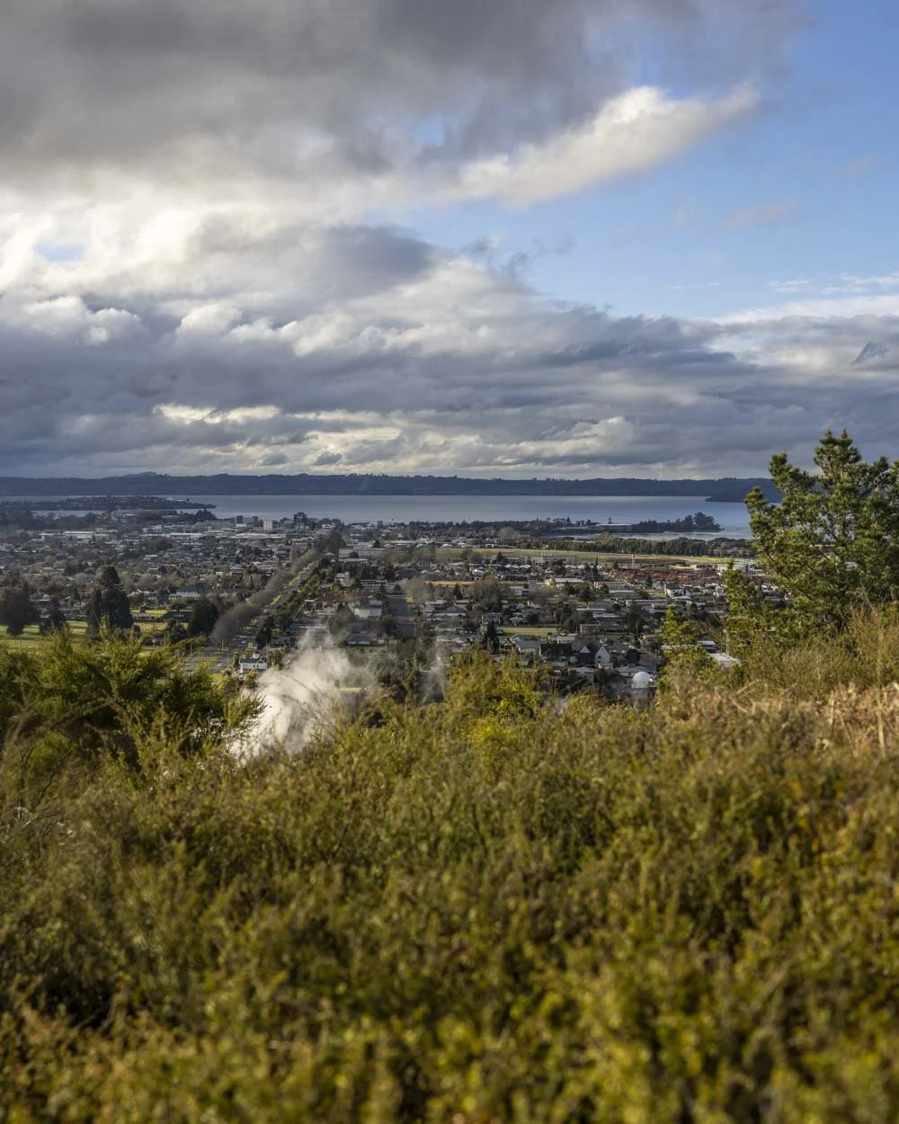
The Lower Whaka Lookout is a wooden viewing platform offering a fantastic view over Te Puia and the Pohutu geyser.
You are high above the geyser so it’s nothing like seeing it from inside the park, but it’s still a great view.

You can also see the mud lake and steaming vents surrounding it. It gives you a unique perspective on the wider landscape with all geothermal action going on right beside the town centre.
The viewpoint itself was surrounded by trees and we heard both Bellbirds and Tuis which made for a really peaceful setting from which to enjoy the view.
There is a bench seat at the platform, but unfortunately it’s set back so you can’t actually see the view from the bench!

This lookout is the best of the track and unless you fancy a little more exercise there’s really no need to carry on.
However, we’ll detail the next three viewpoints so you can see for yourself. To see all three lookouts you’ll walk an additional 600m each way, most of which is uphill on the way.

Redwood Lookout, The Trig and Waipa Lookout
From Lower Whaka Lookout head right, up the stairs to Redwood Lookout, which is just 100m away. It’s a more obscured look at what you’ve already seen and therefore not much to write home about.
The Trig Lookout is a further 200m away up several more staircases.

Look to your left just after leaving the Redwood Lookout as there’s a good view of some more steaming vents from there.
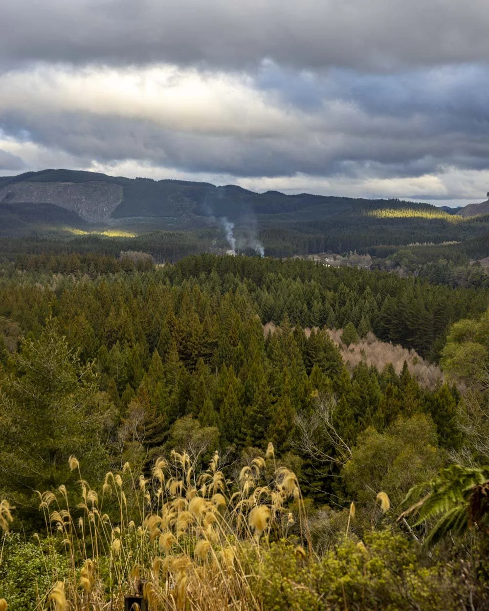
The view from the Trig itself looks out over the forest and distant hills and it would be really nice but for the fact it’s an active logging area and we saw scarred hills and logging machines as well as the trees which isn’t exactly how we like our nature views!

There’s plenty of seating here though so if you want a break after all those stairs, this is a good spot.
From the Trig the path heads downhill for 200m before you make a left at the junction, signposted as Waipa Lookout.
This 100m stretch of track to the viewpoint is lovely as it’s dense forest.

Sadly the view is similar to the Trig in that there was plenty of active logging visible alongside pretty forest and hills.
From here you could head 100m back to the junction and then turn left to continue on the Pohaturoa Track, however, we chose to retrace our steps.

Getting to the Pohaturoa Track
The closest car park to the Pohaturoa Track via the route described above is on Titokorangi Drive in the shared use section of the Whakarewarewa (Redwood) Forest. It’s around a 6km and a 10 minute drive from Rotorua town centre. At time of writing parking is free and there are no time limits.
Toilets can be found just before the parking area at the Redwoods Visitor Centre.
This post may contain affiliate links, meaning at no additional cost to you, that we will earn a small commission if you click through and decide to make a purchase. This helps towards the costs of running our website. Thanks for your support.


