When the beaches of Jervis Bay fill up over the summer and you’re still keen for a secluded swim, it’s time to head to Berrara. Berrara Creek is home to some beautiful fresh water swimming holes and you’re unlikely to see another soul. The pools are just a short walk from the nearest parking area and the water is clear and inviting.
There are no signposts for the swimming holes, but we have you covered with directions in the trail notes below.

The Berrara Waterholes Walk
The stats
Distance: 300m return for pool one, or 1.6km return for pool two
Elevation gain: Flat
Difficulty: Easy, but some light scrambling to reach pool two
Trailhead: Blackbutt Road, Conjola National Park
Summary: The two waterholes are located on separate trails, but both are accessed from the same parking area. You could form a loop between the two, but this involves much more in the way of overgrown bush-bashing, so we chose simply to take the easiest routes, which is what we’ll be describing below.
Both trails are almost entirely flat, though the path to pool two (the best of the two) does involve a little bit of rocky track and some rock hopping.
If there’s been a lot of recent rain, you may experience a small amount of mud, but it’s only on a short section of track and it’s nothing that would be off putting.
The walk to pool number one
Distance: 150m each way
The walk to the first pool is the shortest and easiest of the two trails, but the pool is not as good as the second one. So if you’re all about the most picturesque spot, then you can skip this one and head straight for pool number two.
If you want to check both of them out, then from the lay-by where you park your car (full details below) you need to take the trail leading into the bush to the right of the parking spot.
The trail to the first pool is the narrow track with the metal boardwalk which then turns into a sandy compact dirt path. It’s flat and easy, though there is some erosion in places, so you have to watch your footing a little.


After just under 150m you will reach the edge of the waterhole. It’s a huge pool surrounded by gum trees and a low cliff wall on one side. The downside to this spot is that water access is not so easy at the point the trail brings you out to.

Debris and fallen logs have made most of the access a bit unpleasant, but there is a spot where there is no debris (towards the right of the point the trail ends) if you look for it and access to the water here just involves stepping off the muddy river bank into shallow water.
The water does get very deep, but watch for any debris and logs around the shallower parts of the pool.

The walk to pool number two
Distance: 800m each way
From the parking area you take the trail heading into the bush on the left (through the wooden poles). The path is flat and begins as an easy stroll as it heads towards the eastern side of the second pool.
There is some erosion on the track, but nothing to worry about if you watch your footing.

After approximately 570m you’ll come to a fork and need to take the path on the right that heads north-west towards the creek. If it’s been wet you’ll encounter some mud along part of this next stretch and there’s also a gully.
You can generally walk to either side of the gully and the mud is not too bad if you take care.

The muddy eroded gully is flat and you’re walking through the scrub, not anywhere near a drop, so you don’t have to worry about sliding on any dodgy terrain.
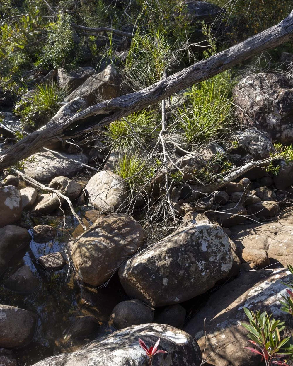
It’s less than 80m before the path becomes a normal worn dirt trail again. Continue for a few metres along the worn trail and then look for the rock shelf on your left.
There are no markers to guide you but you will see the rock shelf through the scrub. This was the best way we could find to get down towards the creek from the trail.


You need to cross the rock shelf and then look for the route down towards the water. Between the end of the muddy gully and the route down to the creek is just 50m.
There’s technically a few routes down, but the one 50m away is straightforward and quite easy to spot if you know roughly when to start looking.

You’ll climb down a couple of large rocks/rock shelf, which is grippy when dry and then you need to begin heading left (for 40m) along the overgrown scrubby dirt track.
Following this you will have approximately 20m of rock hopping to reach the pool.

The creek generally has low water levels and there are plenty of rocks for rock hopping and bits of riverbank to use, so unless there’s been a lot of rain you wouldn’t get wet feet at any point on the way to the pool.
The rock hopping section does have a few trees to climb over, but when dry the rocks are not slippery.

When you are ready to leave the pool you’ll probably notice an alternate route back. This is just 10m from the water’s edge and leads steeply up the rocks/wall from which point you can do a brief bushbash back to the main trail.
This is the quicker route but much harder to see on the way in and also steeper, so you may prefer the other route anyway.

Pool number two
This second pool is by far the lovelier of the two. It feels more secluded and has a bit more of a rockwall hemming it in nicely.
The water is clean and clear and accessing the pool is easy. You need to walk over a couple of rocks down to the water’s edge and then a few more rocks inside the pool itself before it becomes deep enough to swim off.

Once I got into the deeper water I didn’t encounter any debris inside the pool so it’s a relaxing place for a dip. It has a serene feel to it and reminded me a little of some of the beautiful swimming holes in Royal National Park. Despite visiting on a sunny weekend it was just us and the birds and dragonflies.
Considering how close it is to Jervis Bay and how short the walk is, it’s surprising that it’s not more well known.


Keep them wild
Please remember to take all rubbish with you and keep these places wild and pristine - as with anywhere in the outdoors. It’s important to leave them exactly as you found them so they will remain beautiful for generations to come.
Litter tends to breed litter, so if you do spot any and are able to pick it up and dispose of it outside the area, it will go a long way to keeping the area clean.
Parking for the Berrara Waterholes Walk
The trailhead for the Berrara Waterholes walk is a tiny pullout off Blackbutt Road in Conjola National Park. To find the spot, use the co-ordinates: -35.191534, 150.521334. There’s only room for one car (you could maybe squeeze in another but you’d block the first car in), but if taken you can find other spots to pull fully off the road nearby.

The last 5km of the road to the parking area is gravel. There is a ford to cross 150m before you reach the parking spot and there are large stones to cross by the ford.

Whilst you don’t need a 4WD in dry conditions, you probably do need a car with a bit of clearance, or find somewhere to park which doesn’t block the fire trail before the crossing and walk the last bit.
Though the gravel road was in good condition when we visited, these unsealed roads can deteriorate after heavy rain, so err on the side if caution if in a small car.
The parking area is 41km and a 35 minute drive from Huskisson in Jervis Bay, and 51km and a 45 minute drive from Nowra.
This post may contain affiliate links, meaning at no additional cost to you, that we will earn a small commission if you click through and decide to make a purchase. This helps towards the costs of running our website. Thanks for your support.