Did you know there’s a secret lookout in Ku-ring-gai? It’s only marked by a cairn and an overgrown track, but it’s one of the best in the national park! It forms part of a trail that not many people have heard of.
You may have read the title of this article and thought it wasn’t a secret, but this isn’t the return walk down to Towlers Bay which is quite popular. This is a little known and absolutely fantastic loop track. It’s a tad overgrown in parts but your effort will be greatly rewarded.
The loop will not only take you to the secret lookout, it will also take you to a unique picnic area in a cave, through a patch of rainforest and down to the water, all in under 7km! We were so impressed with this walk that it’s quickly become an all time Ku-ring-gai favourite.
Even if it did leave me with a little less blood from two fat Tiger Leeches! Ugh.
Here’s what to expect from the trail. Note that it’s not signposted so we’ll outline all the crucial turns to make in the notes below.
The Towlers Bay Circuit & Secret Lookout
The stats
Distance: 6.9km
Elevation: 270m
Difficulty: Moderate
Type of trail: Loop
Starting the trail
The trail begins at the car park - which in reality is a small lay by - for the Towlers Bay Track.
It starts off on some fairly standard fire trail that’s not particularly inspiring, but it’s relatively flat with a small downhill section, so you make quick progress.
Finding the turn for the Secret Lookout
You need to walk on the fire trail for 1.36km and then look right. We know this sounds weirdly precise, but trust us, this trail is not easy to find even when you’re looking for it! The first time we tried we over shot it by quite a way and had to backtrack.
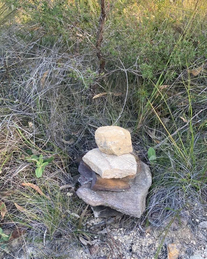
The trail is marked by two cairns which are spaced either side of the trail. Neither the cairns not trail stand out amongst the dense vegetation so you do have keep an eagle eye out.
The key is to look for a turn in the track - or you can try to find this exact spot as marked on Google Maps.
You’ll see a slightly beaten path that goes into the bush. Once you head on to the narrow path you’ll discover it’s quite overgrown. There are quite a few of these patches on the trail, but the start is probably the worst, so persevere!
After a few minutes, the vegetation around the path opens up and you’ll get your first glimpse of Lovett Bay. We knew then that this walk was going to offer some of the best views in the park!
Onto the Secret Lookout
The bush closes in around you again and gets slightly more overgrown, but it’s not too bad. We were lucky enough to see a Swamp Wallaby hiding amongst the undergrowth here which was a real treat.
We seem to have got lucky in Ku-ring-gai lately and seen them on the Sphinx and Warrimoo Track and the Gibberagong Track too!
Showing how overgrown the path is
It’s only around 800m total on this track before you reach a little junction. The right fork heads to the secret lookout which is just 30 seconds off the trail.
Again it’s unmarked but you’ll know when you have an option to go right onto a rocky ledge, or downhill on the left.
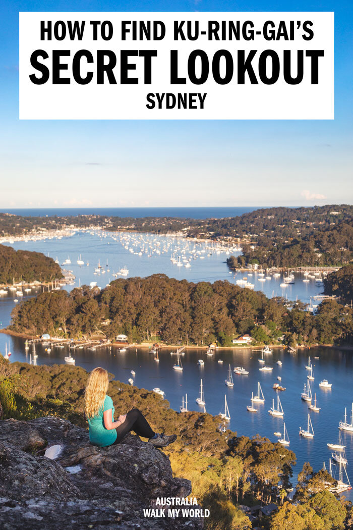
The view over the bays is incredible and is easily one of the best in the park. There’s a little bench there, but we loved that the natural rock which offered the perfect place to sit and enjoy the view.
Judging by the fact there’s a bench there, Birnie Lookout didn’t used to be a secret but nowadays the only trails there are unsigned and overgrown.
For us this just made it even better because we didn’t see another hiker on the entire walk and felt like we had the whole place to ourselves!
Heading into the rainforest
After retracing your steps from the lookout you start heading downhill and will immediately see what we think is one of the most unique picnic spots in Sydney!
There is a picnic bench inside a cave! It might not be everyone’s cup of tea, but I love caves so I thought it was pretty fantastic and it has to be Sydney’s most unique picnic spot!
It’s from this point that you’ll start to see lots of red and white ribbons tied to the trees and that’s what you can follow to stay on trail.
For the most part you can see the trodden down path, so it’s pretty easy to follow, but the flags will reassure you that you’re on the right path (even if it is rough in patches).
The downhill on this section gets quite steep; sometimes there are stairs and sometimes it’s more like just dirt and leaf litter.
I expected it to be quite slippery but it wasn’t too bad on the whole.
We also hiked after some heavy days of rain, so in drier weather it might not really be slippery at all.
As you descend it starts to feel like you’re entering a rainforest and has lots of Cabbage Tree Palms and other jungly plants. Vines also start to appear and it feels like a different trail altogether.
It’s definitely the most rainforest-y scenery we’ve experienced in Ku-ring-gai and we absolutely loved it.
One of the reasons we enjoyed this trail so much, is because of the variety: fire trail, narrow bush track, big views, rainforest and then you’re down at the water.
The mangroves at Lovett Bay
Down at the water
The whole descent is about 750m and you’ll come to a T-junction, make sure you turn left (otherwise you’ll go very wrong!).
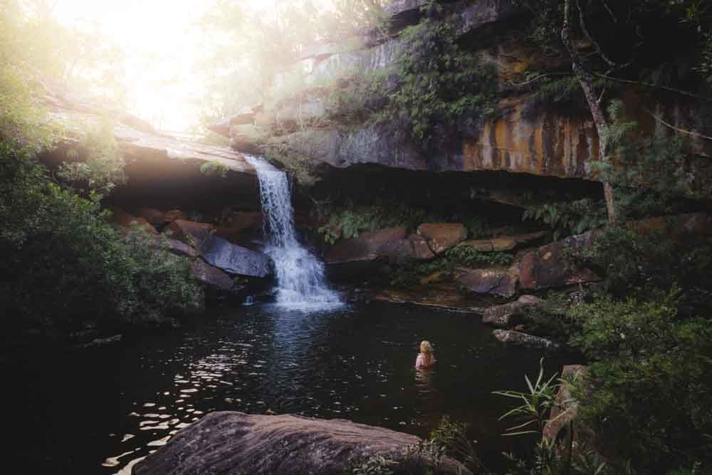
At first the trail looks like it’s become even more overgrown and you doubt your decision, but the red ribbons will show you that you’ve made the right choice. Soon the trail flattens out and within a few hundred metres you’re crossing over a little boulder creek.
You’ll then find yourself at a lovely little spot with great views of the mangroves and out to Lovetts Bay. What might surprise you is there are also a couple of houses down here, what an idyllic place to live!
It feels a bit like you’re walking across their lawn but you end up at the jetty so it doesn’t seem to be an issue.
At this point we asked the locals where the right path was, and they pointed us up a staircase which seemed to be private property, so we turned back, but they then waved us on again.
We passed quickly and were soon back on fire trail.
Since our visit we’ve been told there is a route you can take that avoids the private property, which is definitely preferable. You head inland at the dry creek bed at coordinates 33°37’56.7″S 151°16’32.1″E, we’ve yet to do this route ourselves, but I would feel more comfortable using it, even though the locals were all super friendly and happy to show us the original route.
Finishing the loop
This section of fire trail is much prettier than the beginning of the walk, with much more dense forest on either side of you. You have quite a big climb ahead and the hill is fairly relentless, it’s not overly steep but it does go on for a couple of kilometres.
There is one point where you come to a junction, turn left to continue going uphill.
As it still feels like being in the forest it was enjoyable and after around 2km you’ll come to a lovely viewpoint on the right which looks over Pittwater.
From the viewpoint it’s not long before you hit the trail that you have already walked at the very beginning and then it’s straight on to the car park.
The path has largely flattened out by this point with just a few undulations.
All in all this is a fabulous walk with great views and lots of variety, a must when visiting Ku-ring-gai.
Packing suggestions for the walk
Having the right gear can make a huge difference. Here’s what we pack and have relied upon for years:
Sunscreen: Cancer Council Active. With a high SPF, but not the greasy feel of other sunscreens. Makes a big difference when you’re working up a sweat on a sunny day! Check it out on Amazon
Good Rain Jacket: North Face This is an essential item we always pack in our bag! This jacket from North Face is designed to keep you dry but also comfortably warm (many rain jackets will make you feel like you’re in a sauna). Check it out on Amazon
Day Pack: Osprey Talon 22 (we’ve owned this for years). Check on Amazon or direct with Osprey
Hiking Boots: Merrell Moab (for men and women). We’ve both used these for over three years and they just keep going. Check them out on Amazon
Trekking poles: We’ve used Black Diamond for years as they are light, solid and durable. Check them out on Amazon.
Reusable water bottle: To avoid single-use plastic. Check them out on Amazon
Essential information about the Towlers Bay Circuit
Parking for the walk
There’s a fair amount of parking at the entrance to the Towlers Bay Track and it’s easy to find. It’s in the West Head part of Ku-ring-gai National Park and you can find it on Google Maps by clicking on this link.
Ku-ring-gai National Park entrance fee
If entering the park by car (which you have to for this walk unless you cycle!) you will need to pay the $12 vehicle entry fee, payable at the ticket booth on the way in.
If you plan on visiting several parks in a year the $65 NSW annual parks pass is better value and covers all parks except Kosciuszko.
Visiting a community
As this walk does visit a community please tread quietly.
This post may contain affiliate links, meaning at no additional cost to you, that we will earn a small commission if you click through and decide to make a purchase. This helps towards the costs of running our website. Thanks for your support!
Like it? Pin it!
Follow us on Social Media
Would you hike through an overgrown unmarked trail to the secret lookout on the Towlers Bay Circuit? Which hike in Ku-ring-gai Chase National Park is your favourite? Let us know in the comments below!


