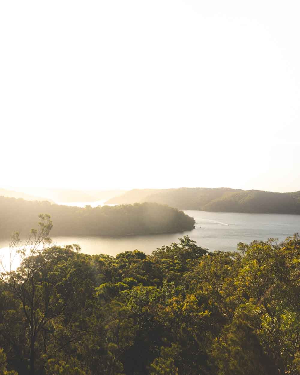
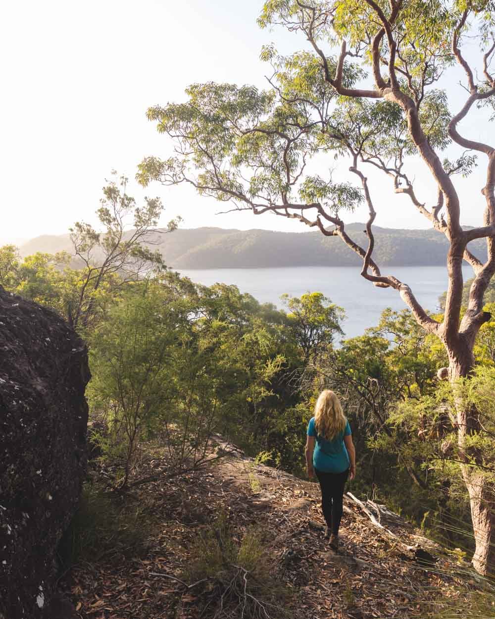
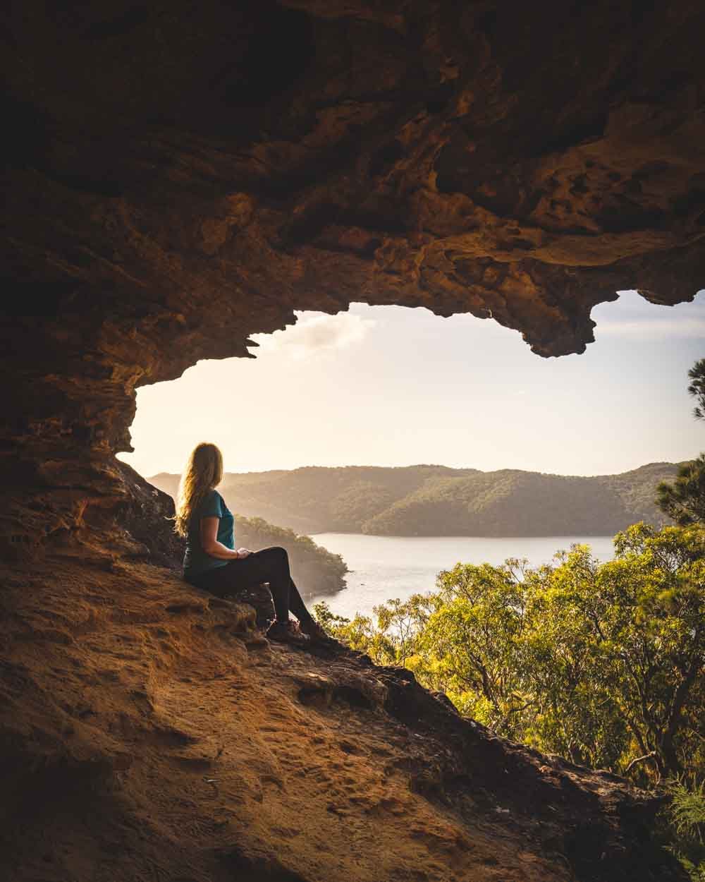
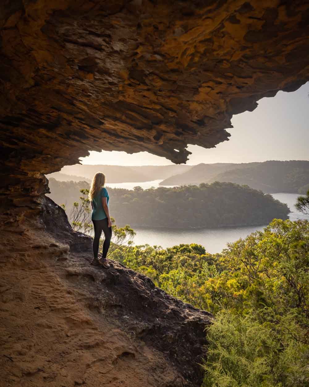
The Topham Track is not going to win any awards for the walk itself. The trail is pleasant, if a little mundane for the most part, but the pay off at the end is big. You’ll reach a fabulous viewpoint overlooking America Bay and then continue on to a hidden cave, which definitely has the wow factor.
And best of all? It’s generally a really quiet track and you’re likely to get these amazing views all to yourself, so bring a picnic and make the most of them!
Here’s everything you need to know about the Topham Track.
The Topham Track
The stats
Distance: 2km each way
Elevation gain: 120m
Difficulty: Easy
The Topham Track is an easy walk with an excellent path until the last 100m. The trail undulates, but any climbs are extremely short and the only thing that might make them feel difficult is the lack of shade.
Once at the end of the fire trail you will spend a short amount of time on an unformed track, which is a little rougher. It’s not difficult, but it’s also not signposted, so we’ll detail what to look out for in the notes below.
Starting the trail
The walk begins on a wide fire trail which is well graded and easy to walk on. The first kilometre undulates a bit but mainly heads downhill.
There are views out over the heathland to distant forested hills. Although the trail is quite easy it does lack shade which can be more challenging on a really hot day.
After just over 1km the trail heads more steeply downhill and the views get prettier, with occasional glimpses out to the water.
You’ll soon reach plenty of long flat stretches of track, which were a favourite haunt of the local goanna population. They were not phased by our presence and were happy to pose for a few photos!
Heading to the viewpoint
After just under 1.9km from the start of the walk you will reach the end of the fire trail. From here it’s a narrow bush track and gets a bit rougher.
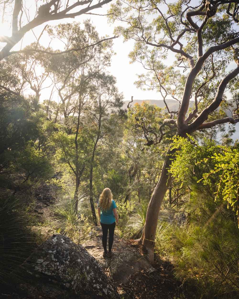
You’ll head downhill on a rocky track, which though easy, does have a thick layer of pine needles, which are worth going carefully on as you descend.
After just over 50m you will reach a junction of sorts and the descent finishes. From here you can head right to the lookout, or left to the hidden cave.
Both these routes were a little webby, so it’s worth grabbing a stick and keeping an eye on where you’re going!
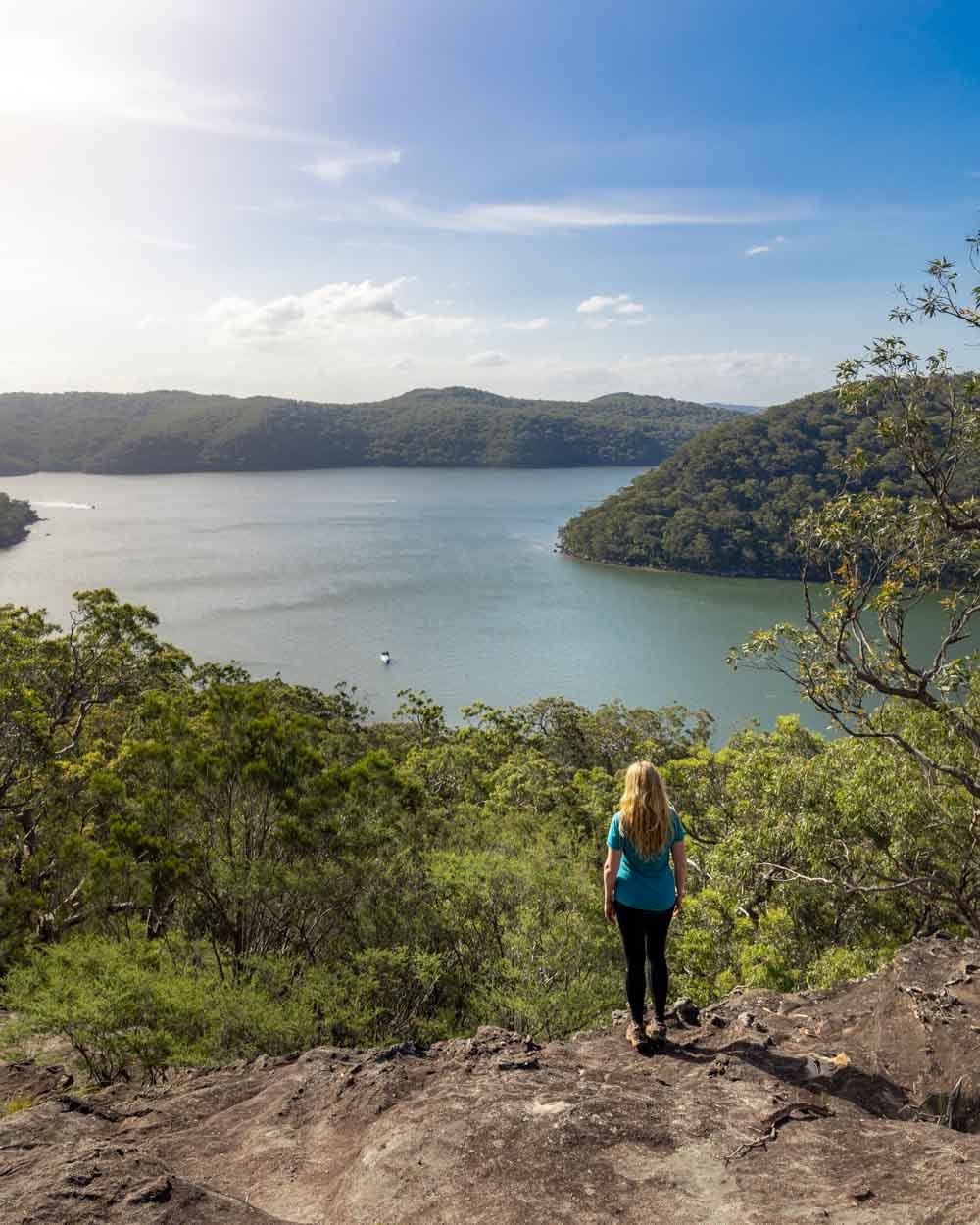
The lookout is just 30m to your right and though not a maintained trail, it’s easy enough to see the route. You can even see the large rocky outcrop you’re heading for from the junction.
It heads slightly downhill and then up on to the rock platform. From here you have an uninterrupted view over America Bay and plenty of room to sit and relax.
Although there is a big drop off, the rock is very grippy (when dry) and it doesn’t feel precarious in any way.
You can also stick to the higher section of the rock, which is flatter, if heights unnerve you. It’s a truly beautiful view from here and makes for a great lunch stop.
Finding the hidden cave
From the lookout head a couple of minutes back to the junction and then start heading left.
Again you can see the rocky outcrop you’re heading for from here, although you can’t see the cave until you’re almost upon it. From the junction it’s approximately 55m to the cave entrance.
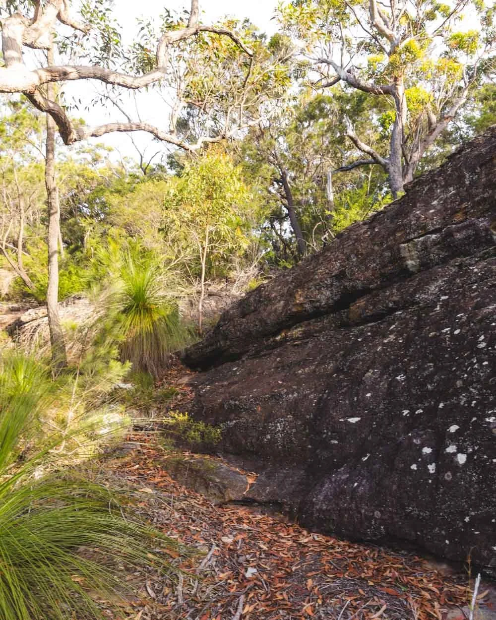
You head slightly downhill towards the rocks and then head around the rock ledge - it’s unfenced but there is enough room to stay back from the edge.
There is a bit of debris on the path, but nothing too challenging to manoeuvre around.
You will then see the overhang ahead of you and it’s just a couple of minutes climb up into the cave.
As with the lookout, the rock in the cave is grippy, but some bits have a thin layer of sand which I tried to avoid incase they were slippery. It’s generally an easy climb in though and quite shallow on the left side.
If you’re heading to the cave first, without going to the lookout, you’ll find it 110m from the end of the fire trail.
Inside the cave
The cave is basically a giant sandstone overhang with amazing views out over Refuge Bay and Cowan Creek. It’s actually quite big, so there is loads of room to sit and relax in the shade.
The pattern and colour of the rock makes for a really pretty spot and the view had us captivated for over an hour.
I loved sitting close to the opening where you can see even more of the water and headlands, but it does have a drop to the left - you don’t need to be right on the edge for maximum wow factor.
It would make for such a good sunset spot, but with the walk back it wouldn’t quite fit with the gate closing time unfortunately.
It’s beautiful at any time of day though, so I guess you can’t really complain!
Once you’re ready to leave, the walk back does have more uphill than it did on the way, but any climbs only take a minute or so and it definitely never feels arduous.
Essential information about the Topham Track
Ku-ring-gai National Park entry fee
Unless you’re cycling, the only way to get to the trails along the West Head Road, including the Topham Track, is by car. Vehicle entry to the park is $12 per day.
If you plan on visiting several NSW parks in a year you are better off buying the $65 annual pass, which covers all parks but Kosciuszko.
The West Head gate
The West Head gate is locked daily, exact times vary according to time of year, but broadly speaking it’s sunrise to sunset. If you get your car locked in, it’s a $50 fine to open the gate.
We always mention this because we tend to walk later in the day and it can catch you out!
Getting to the Topham Track
The Topham Track is located on the West Head Road and has a very small parking area which is a bit rocky (it’s marked on Google Maps). It’s a sharp left, so when you’re getting close, slow down to make sure you don’t overshoot it. It’s roughly 38km from Sydney CBD and doesn’t have any public transport options.
This post may contain affiliate links, meaning at no additional cost to you, that we will earn a small commission if you click through and decide to make a purchase. This helps towards the costs of running our website. Thanks for your support.


